
The Lakeville Board of Assessors is happy to announce the new Geographic Information System (GIS)…. AxisGIS!
The Lakeville Board of Assessors is happy to announce the new Geographic Information System (GIS)…. AxisGIS!
Welcome to AxisGIS!
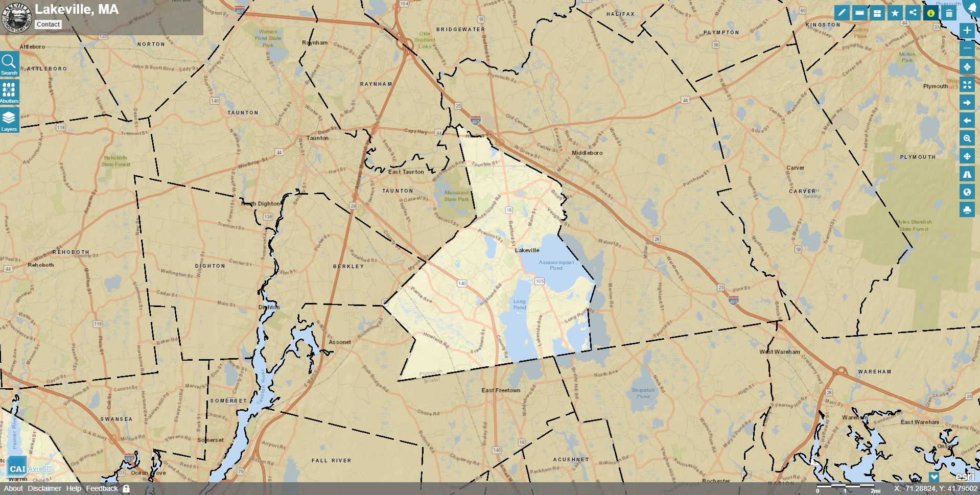
AxisGIS is an Internet-based mapping service for communities and businesses that want to publish their GIS online. AxisGIS is helping communities share their parcel data which enables homeowners and real estate professionals to query, browse, report and print maps from their own computers. This easy-to-use online GIS supports a variety of municipal functions, provides a platform for police and school collaboration, and creates a connection between town government, local businesses, and communities.
The link to Lakeville’s AxisGIS is located on the left-hand side of Assessor’s webpage titled “Lakeville Geographic Information System (GIS) / Access to Real Estate Maps.” When you click on the link, a new page will open and the Town of Lakeville map will be displayed. To learn how to navigate this GIS site, click on the HELP tab located on the bottom left of the map.